Saturday, November 5, 2016

#119 Jul 2015 PEI Anne of Green Gables

L. M. Montgomery’s creation of Anne of Green Gables in 1908 was based on her early farm life in Cavendish, a narrow farming settlement fronting on the Gulf of St. Lawrence. 


The lovable child Anne was fictional but the farm and rural life are recreated on the original farm site.


Horses were central to rural life until just a few decades ago. They filled the role of car, truck and tractor – and sometimes friend and companion.


Next to horses, cows were the most valuable stock on the farm. They provided meat and dairy products for the table, and were a source of leather for clothing, harness and footwear. Surplus milk, cream, butter and cheese were a small but steady source of income.


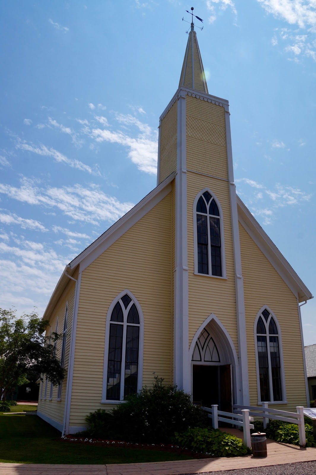
A walk through the village of Avonlea provides insight into an early 20th century community.


"Anne of Green Gables – The Musical" is Canada’s longest running musical. 

The show brought back my memories of the books and gave Ralph a glimpse into the story, which he had not read.

Wednesday, November 2, 2016

#118 Jul 2015 PEI Fathers of Confederation

Our GPS had guided us through many cities and along unfamiliar roads. When we headed for the Confederation Bridge to Prince Edward Island the GPS insisted we take the ferry to PEI, which is a much longer trip. We were only a few kilometers from the bridge and we knew the RV would fit. What the heck?

Ralph kept driving towards the bridge and I struggled with the GPS. As we approached the bridge there were signs indicating the maximum width allowed on the bridge. Ok. Let’s check the vehicle parameters entered into the GPS. Aha! The RV width was incorrectly set 1/3 meter too wide. When that was corrected the route changed and the GPS agreed we could take the bridge. Occasionally the GPS directions have been incorrect but this time it knew best.

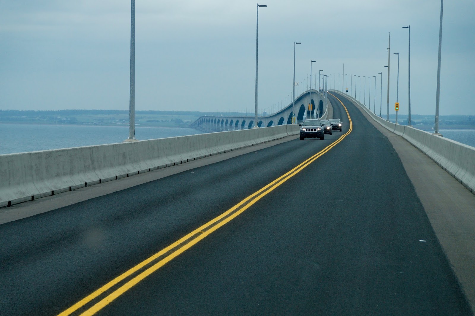
The Confederation Bridge is 12.9 km (8 miles) long and is the longest span over ice covered waters.


As we approached the Island we caught our first glimpse of its famed red soil. PEI’s sandstone is rich in iron. The oxidation, or rusting, of the iron has stained the bedrock red, accounting for the red cliffs and soil of the Island.


We had chosen an RV park in a central location. Our route provided a sample of rural PEI and, of course, fields of PEI potatoes.


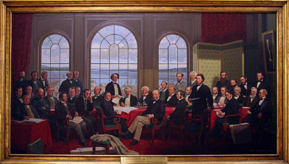
In 1864 the Fathers of Confederation met in Charlottetown and hammered out the basis for the formation of Canada. Delegates from New Brunswick, Nova Scotia and Prince Edward Island met with representatives from the Province of Canada (now Ontario and Quebec).


The exterior of Province House is showing its historical age.


The interior was under renovation but the meeting room was recreated in the Honorable George Coles Building.


July 1st 2017 our country will celebrate 150 years as a nation. Ralph and I are proud to be Canadian.


Tuesday, November 1, 2016

#117 Jul 2015 Bay of Fundy's 40 Foot Tides!

After our short visit to Nova Scotia we returned to New Brunswick where we met Dale and Donna, cousins of our friend Cathy from Coquitlam BC. They gave us a great tour of the Shediac area, including a festival and the World’s Largest Lobster.


We had heard about the extreme Bay of Fundy tides. Can you envision one hundred billion tonnes of water pouring, twice daily, in and out of a long, narrow bay? That’s an amount comparable to the average 24-hour flow of all the rivers in the world.


We first experienced the power of that water at the Reversing Rapids at St. John NB where the incoming tide reverses the flow of the St. John River. (Post #103)


We had not heard of a Tidal Bore until we were in the Maritimes. The descriptions we heard could not begin to convey that amazing sight on the placid Petitcodiac River in Moncton.


As the incoming tide rushes up the River it challenges surfers to catch the wave.


One surfer rode the wave to the cheers of onlookers.


After the wave comes the mud which the incoming tide powerfully churns up twice a day.


The Hopewell Rocks gave us the opportunity to see the changing of the tide up close.


When the tide was out we walked down to the ocean floor, which was wet but not mucky.


Ralph and I were dwarfed by the awe-inspiring rock formations.


Everywhere there are signs showing the high and low tides for each day.


Park staff is very vigilant about making visitors aware of the changing tides and when it's safe to walk on the ocean floor.


This painting provides some perspective.


The Flower Pots show the dramatic rise of the ocean.


The Bear also shows the transformation from low to high tide.


While the tide changed we explored Cape Enrage Lighthouse.


Some high fliers enjoyed a bird’s eye view.


We enjoyed lobster poutine and lobster tacos for lunch – much more our style.