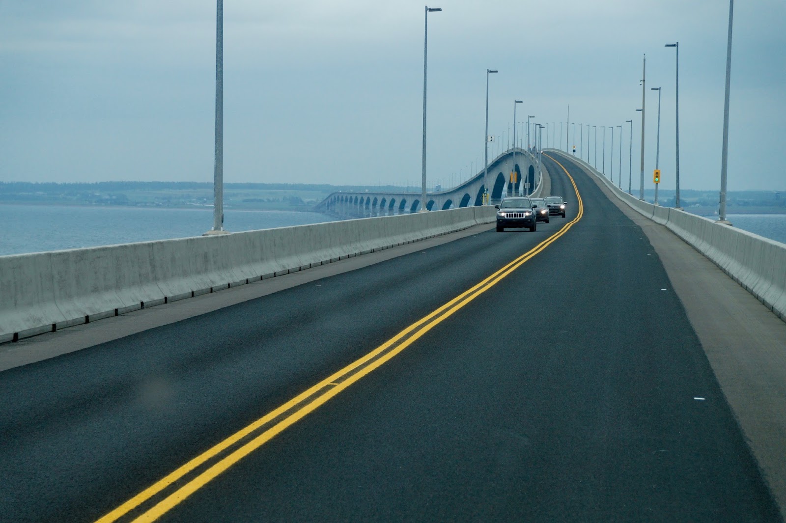
Our GPS had guided us through many cities and along
unfamiliar roads. When we headed for the Confederation Bridge to Prince Edward
Island the GPS insisted we take the ferry to PEI, which is a much longer trip.
We were only a few kilometers from the bridge and we knew the RV would fit.
What the heck?
Ralph kept driving towards the bridge and I struggled with
the GPS. As we approached the bridge there were signs indicating the maximum
width allowed on the bridge. Ok. Let’s check the vehicle parameters entered
into the GPS. Aha! The RV width was incorrectly set 1/3 meter too wide. When
that was corrected the route changed and the GPS agreed we could take the
bridge. Occasionally the GPS directions have been incorrect but this time it
knew best.
The Confederation Bridge is 12.9 km (8 miles) long
and is the longest span over ice covered waters.

As we approached the Island we caught our first glimpse of
its famed red soil. PEI’s sandstone is rich in iron. The oxidation, or rusting,
of the iron has stained the bedrock red, accounting for the red cliffs and soil
of the Island.

We had chosen an RV park in a central location. Our route
provided a sample of rural PEI and, of course, fields of PEI potatoes.


In 1864 the Fathers
of Confederation met in Charlottetown and hammered out the basis for the
formation of Canada. Delegates from New Brunswick, Nova Scotia and Prince
Edward Island met with representatives from the Province of Canada (now Ontario
and Quebec).
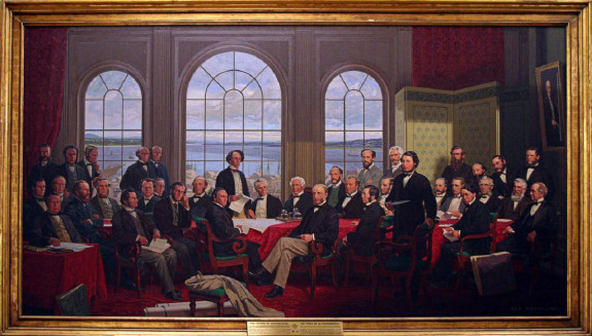
The exterior of Province House is showing its historical age.

The interior was under renovation but the meeting room was
recreated in the Honorable George Coles Building.


July 1st 2017 our country will celebrate 150 years as a nation. Ralph and I are proud to be Canadian.
Of the 9 provinces I have visited and/or lived in, PEI is my favorite. You have captured it beautifully.
ReplyDeleteLove PEI. So peaceful. This was lovely.
ReplyDelete